Property Map + Galleries
Property Map and Galleries
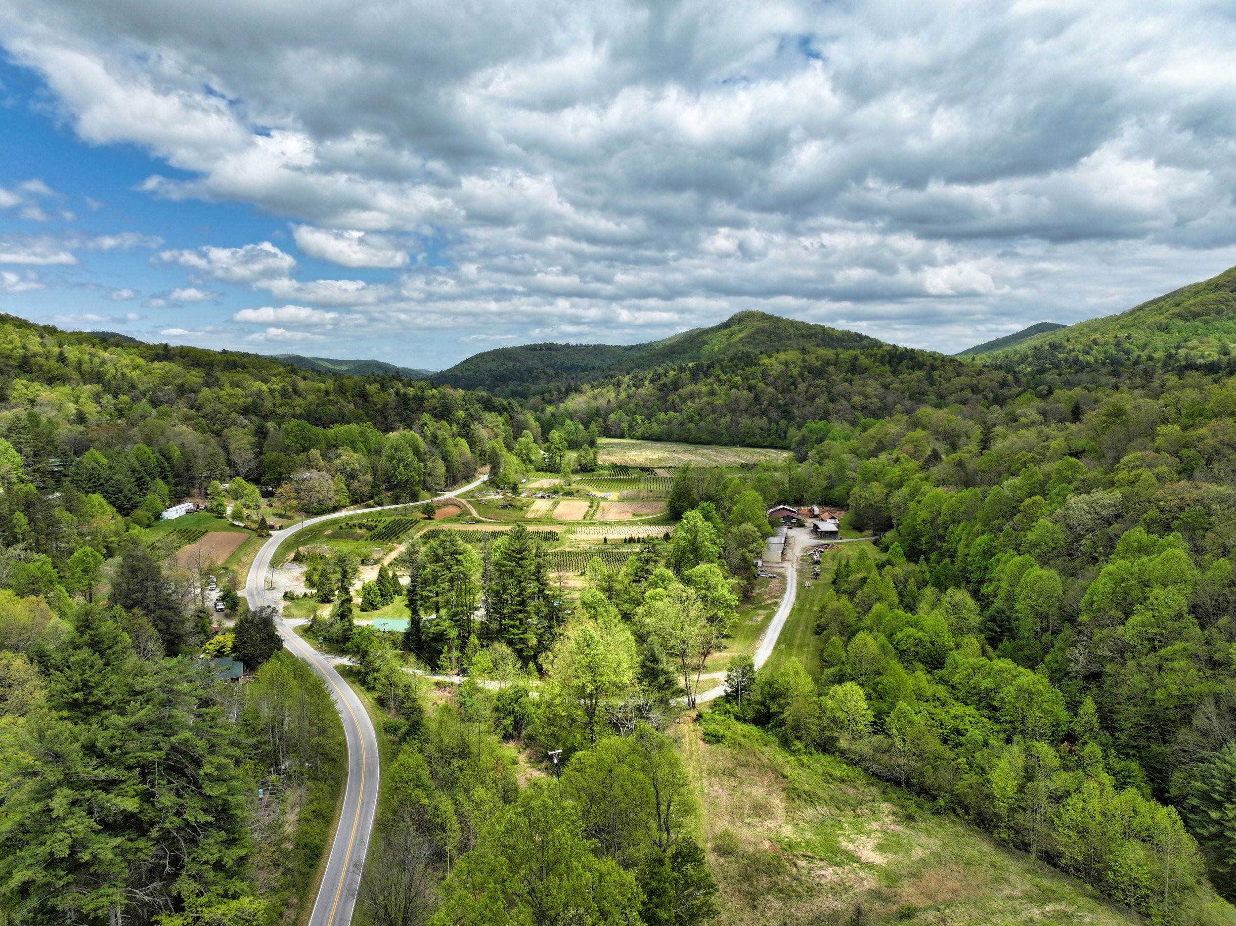
The map below serves as a visual aid to highlight sections of the property with associated photos to provide context and detail for each area, but does not represent actual tax map or surveys. Please call the listing agents with any questions about this property.

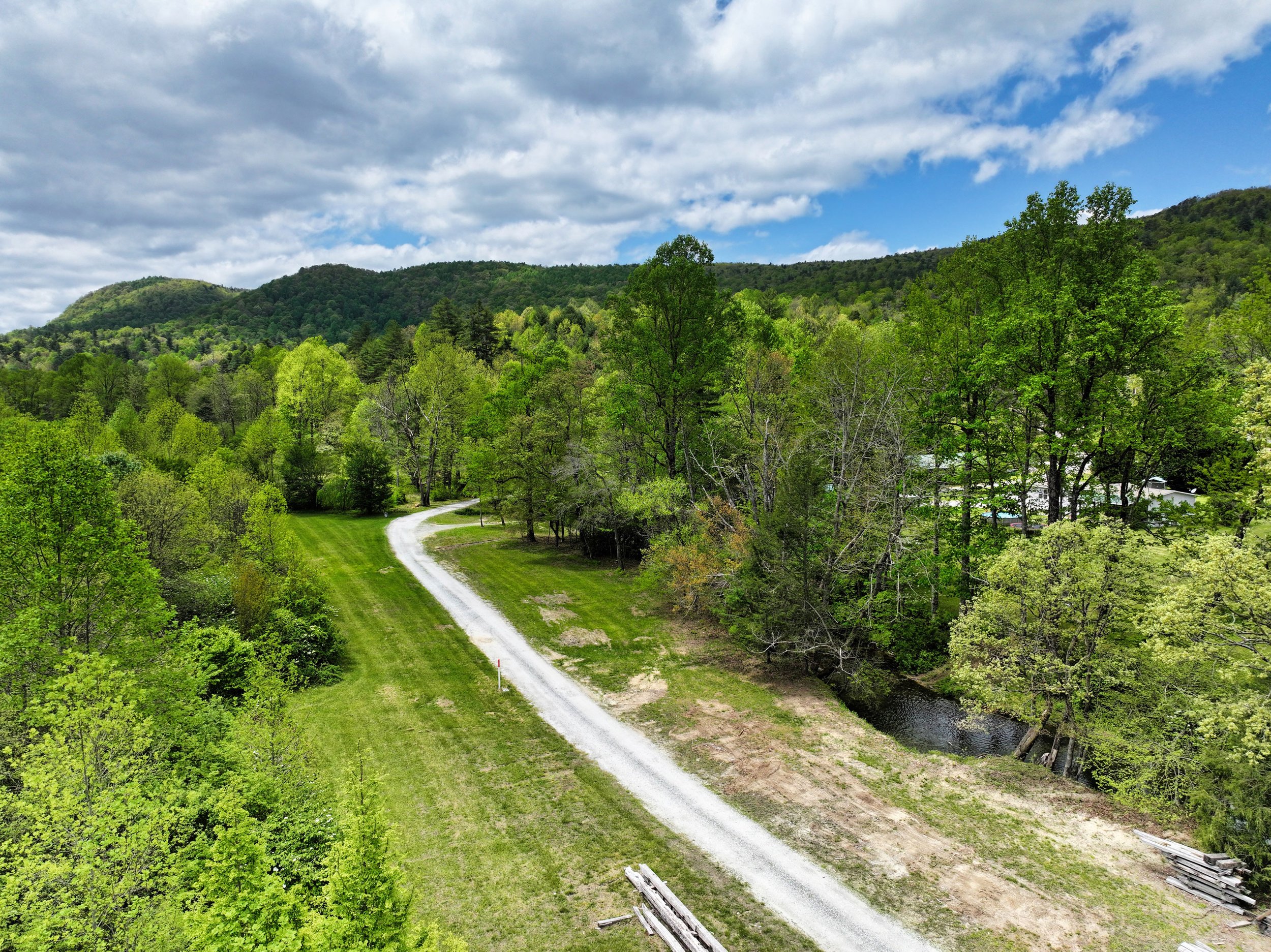
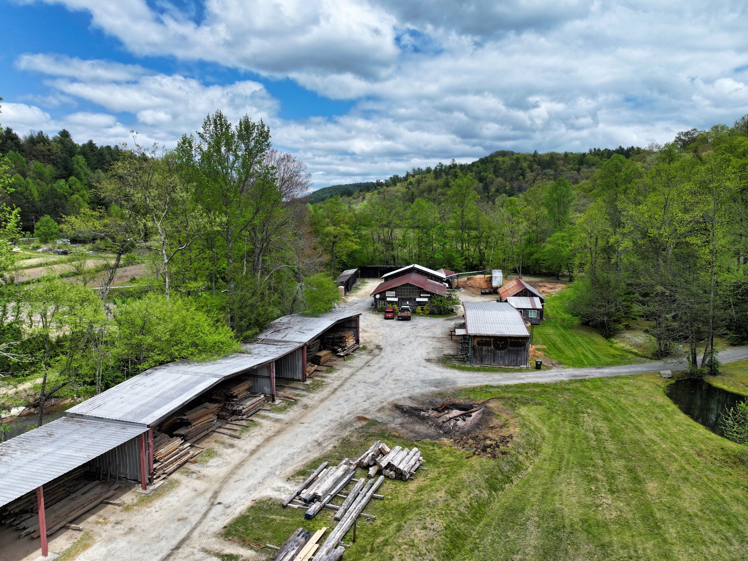
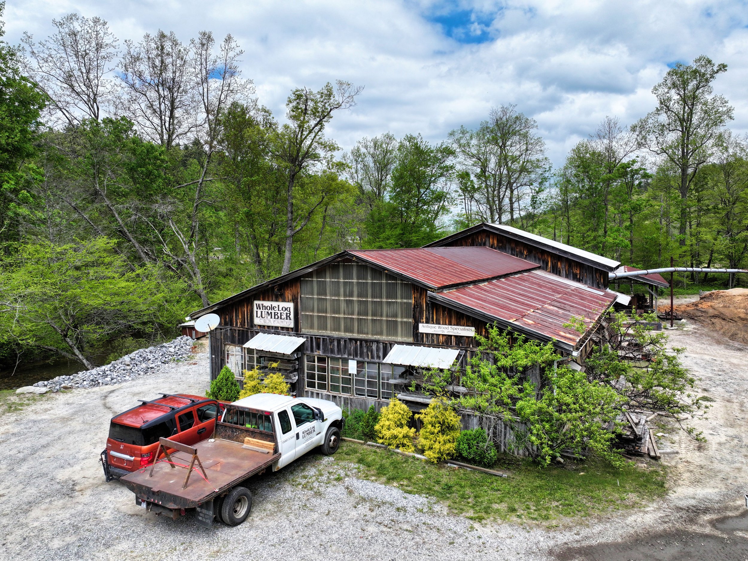
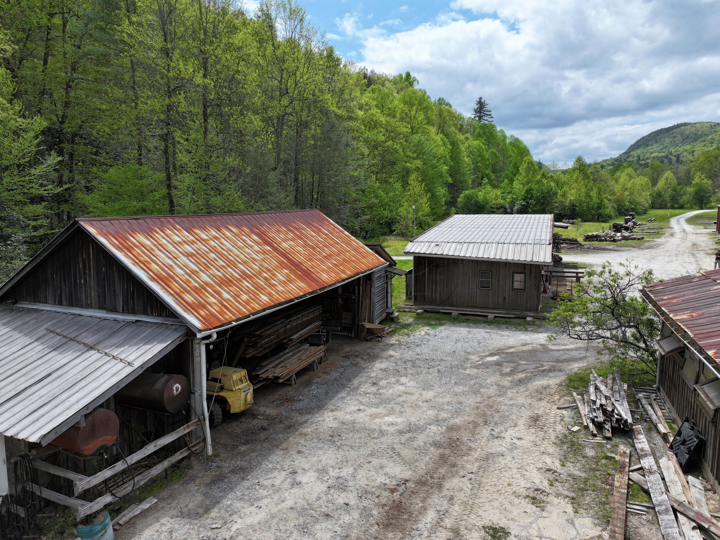
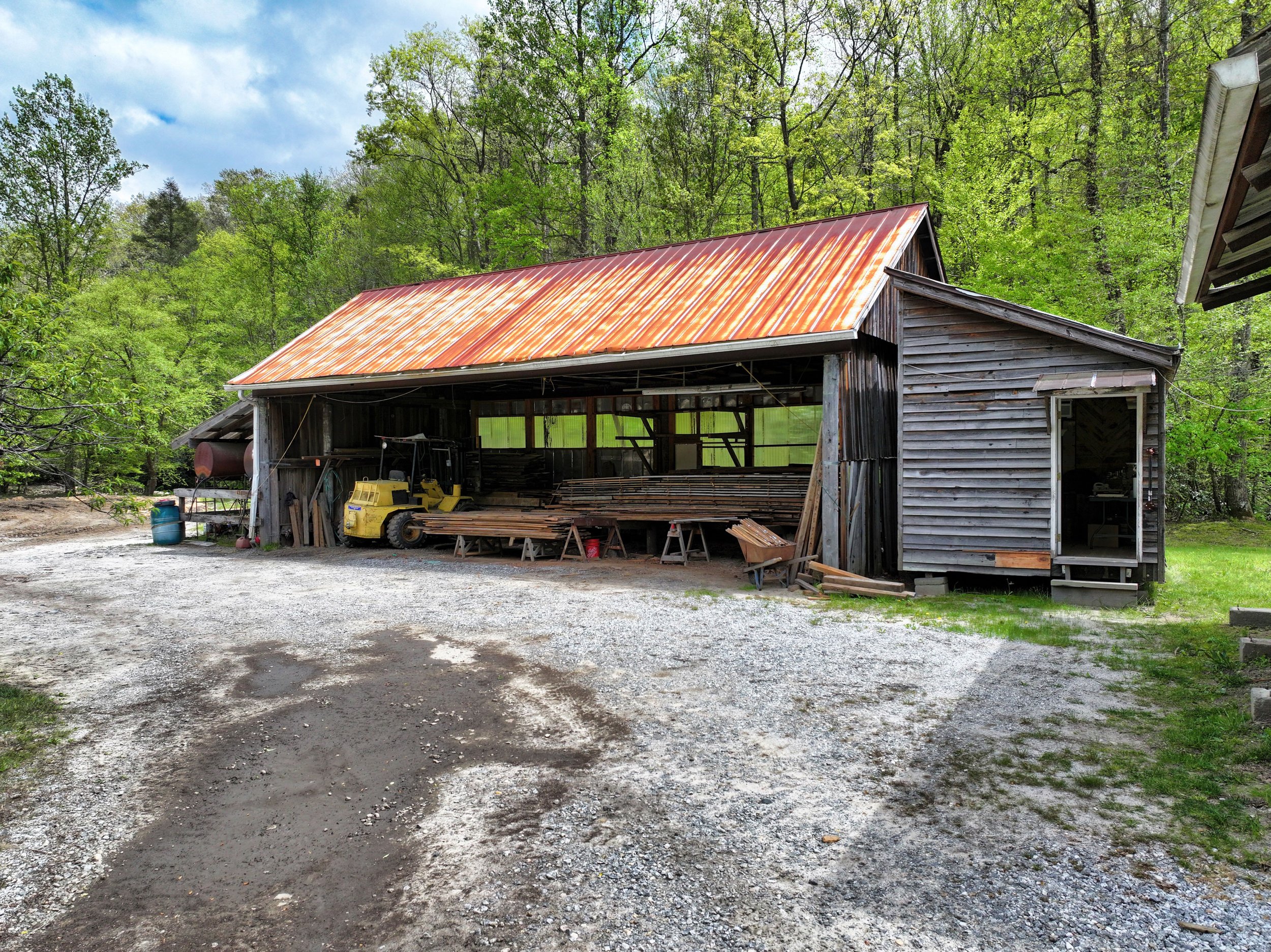
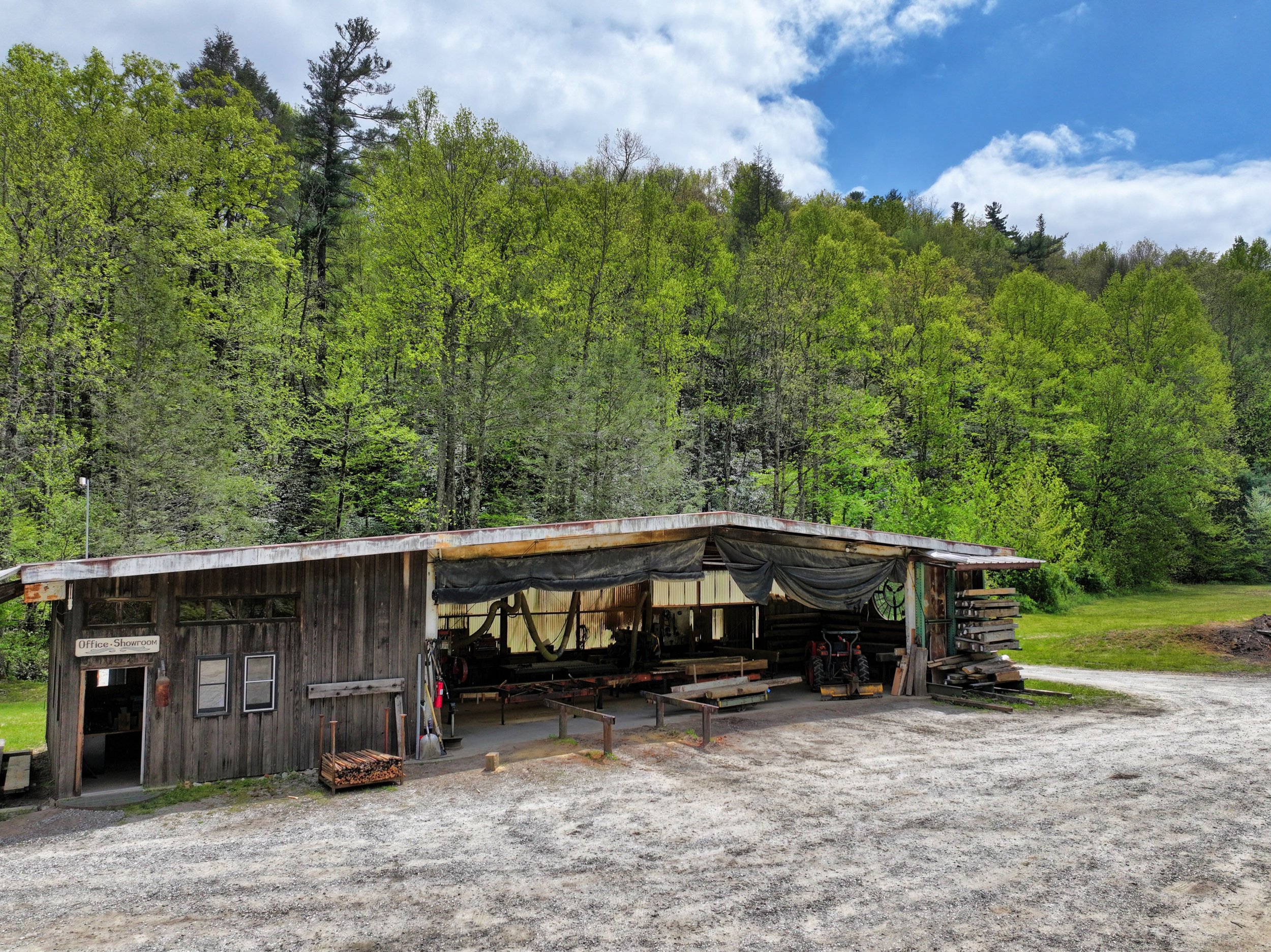
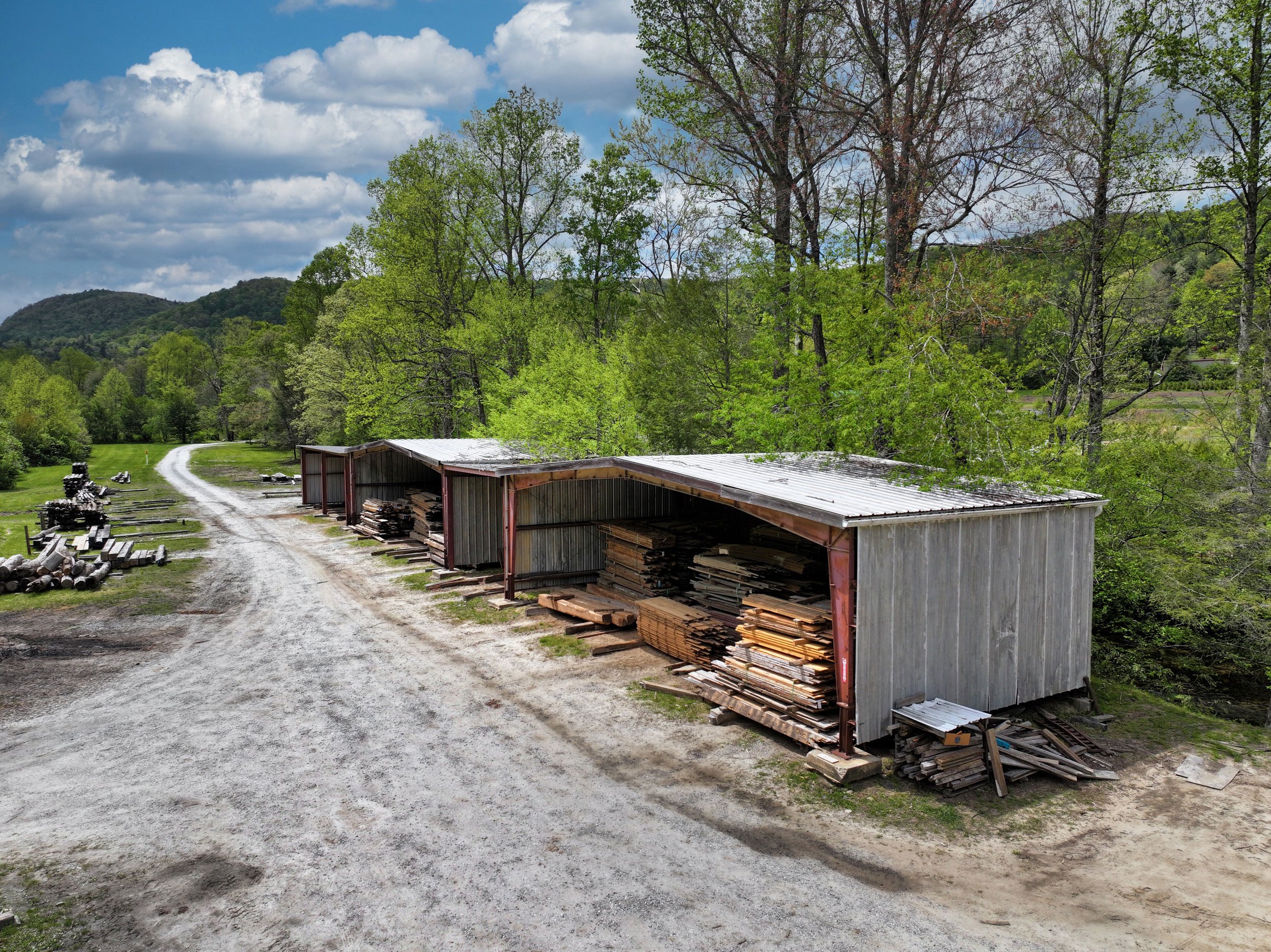
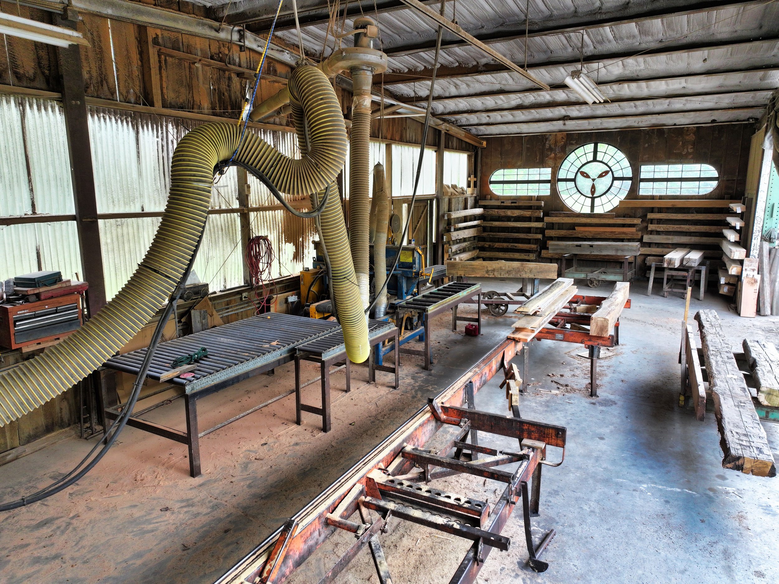
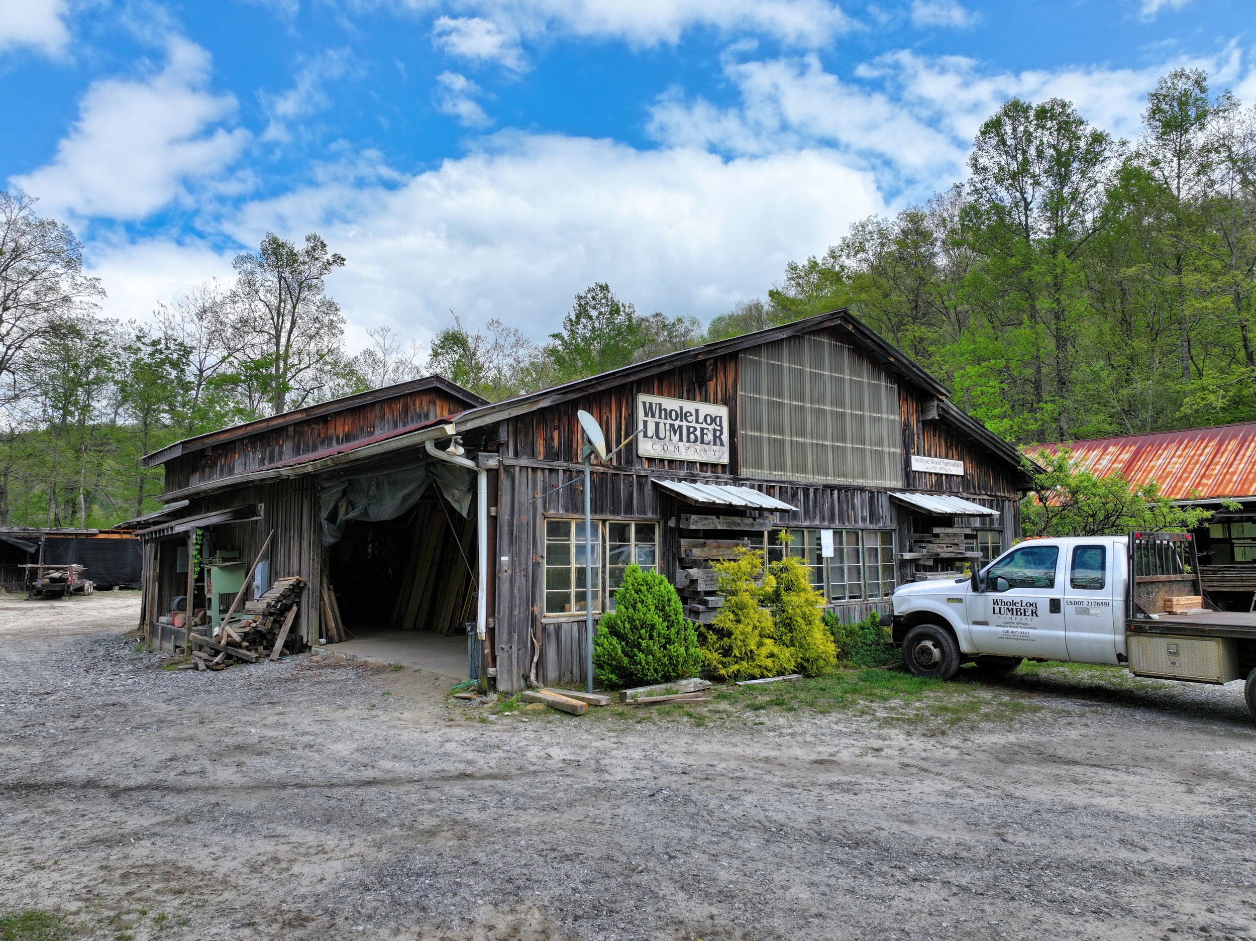
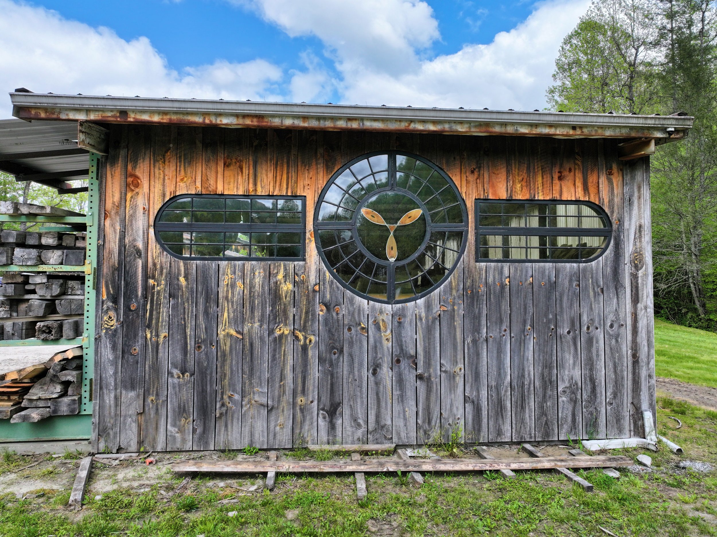
1. Outbuildings + Green River
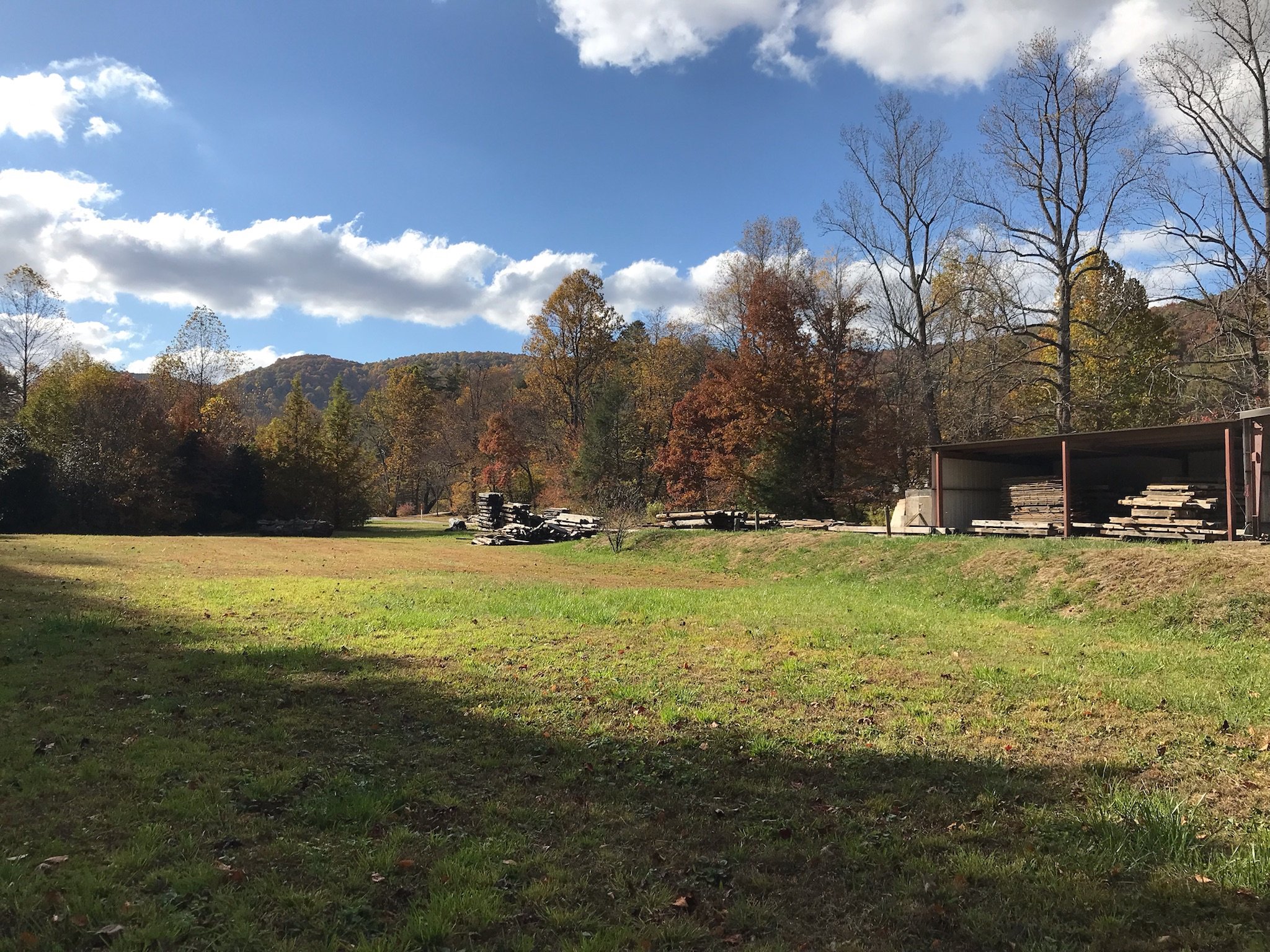
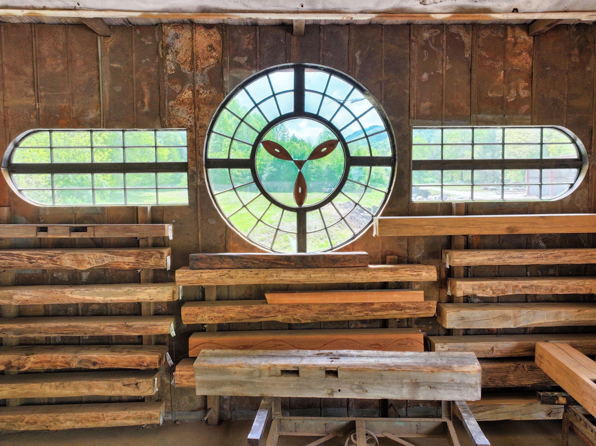
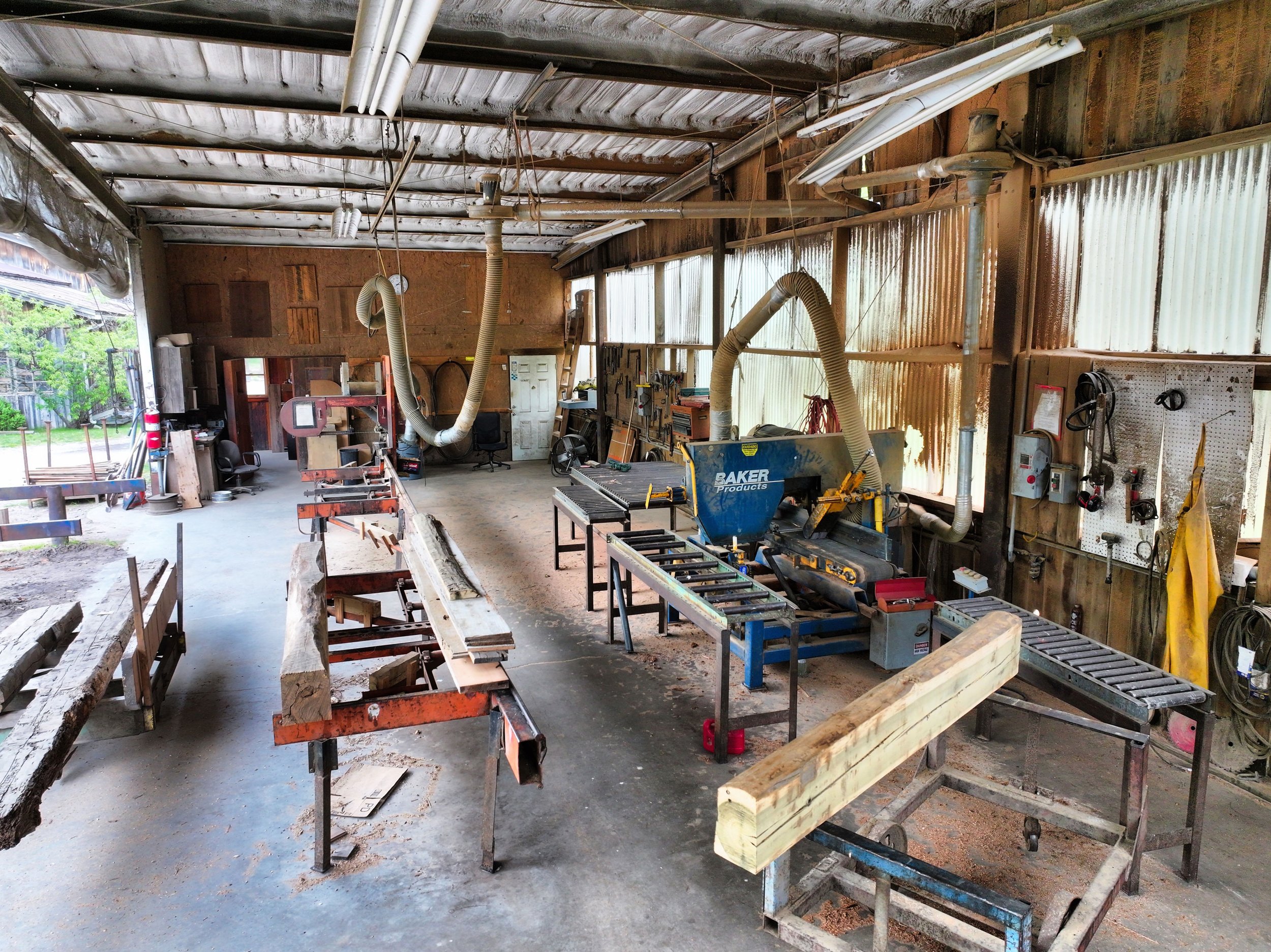
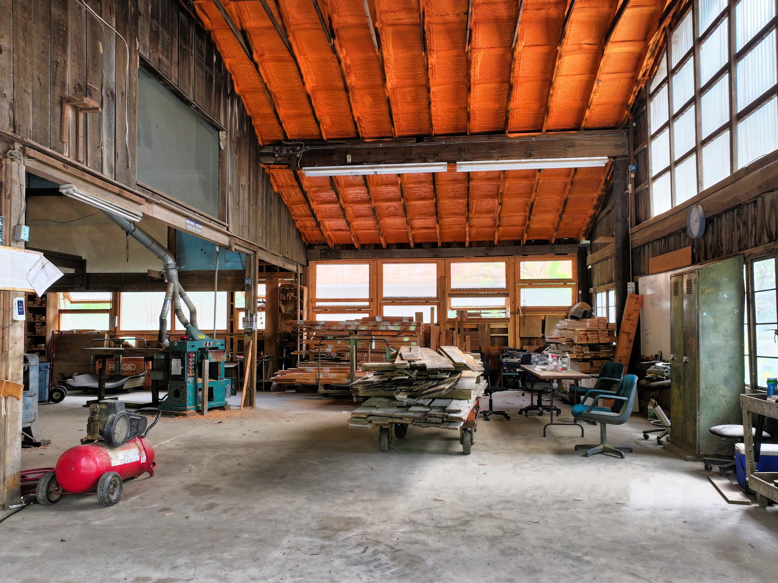
Outbuildings: Currently a reclaimed lumber business (Equipment does not convey. Please ask agents about outbuildings that convey and those that are negotiable). Portion of PIN in flood zone.
Point on the Map:
1a: Swimming Beach along Green River (Great for tubing!)

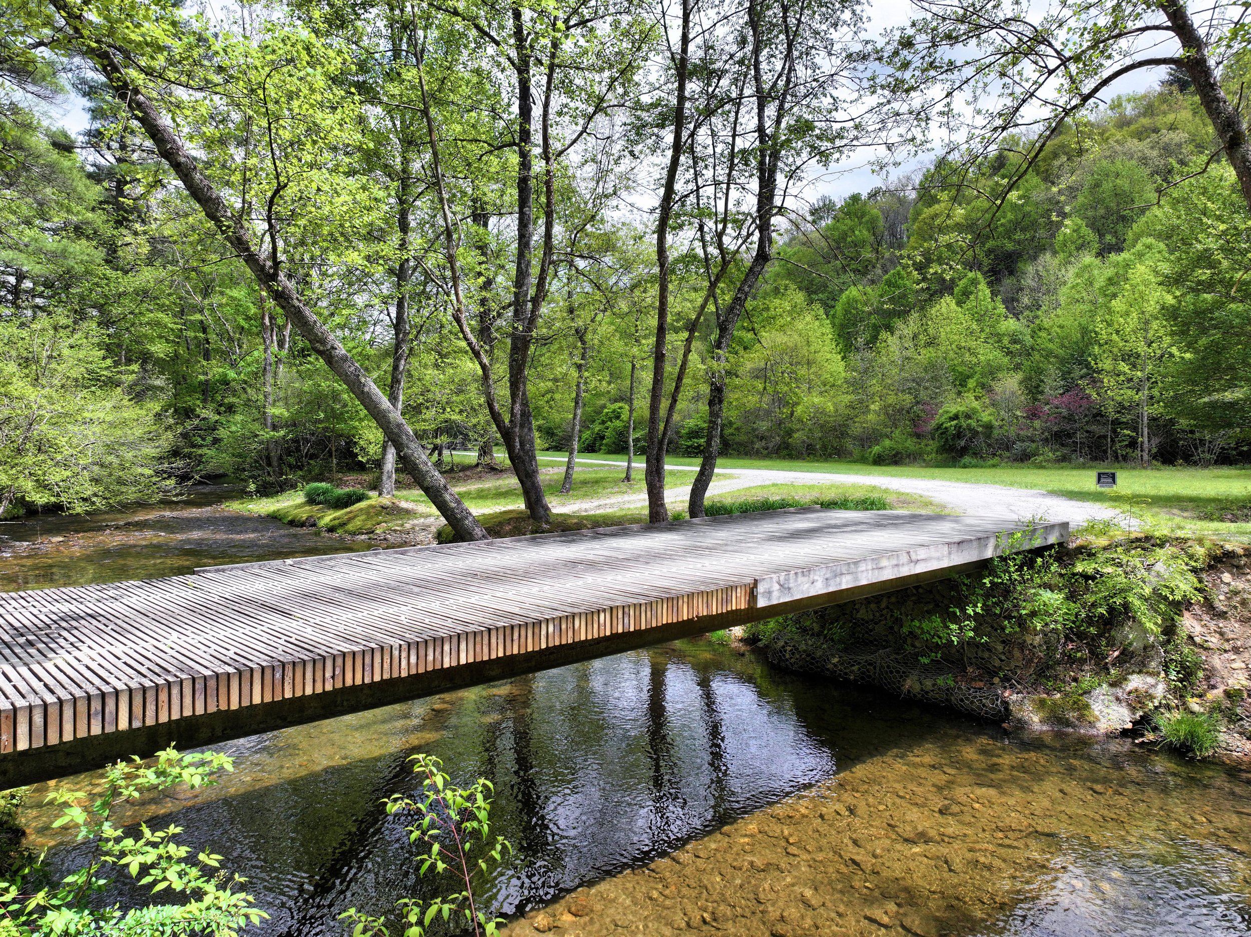
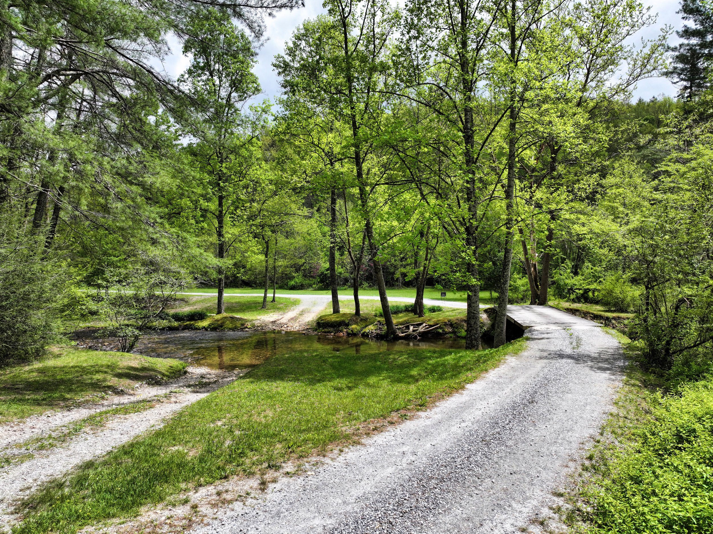
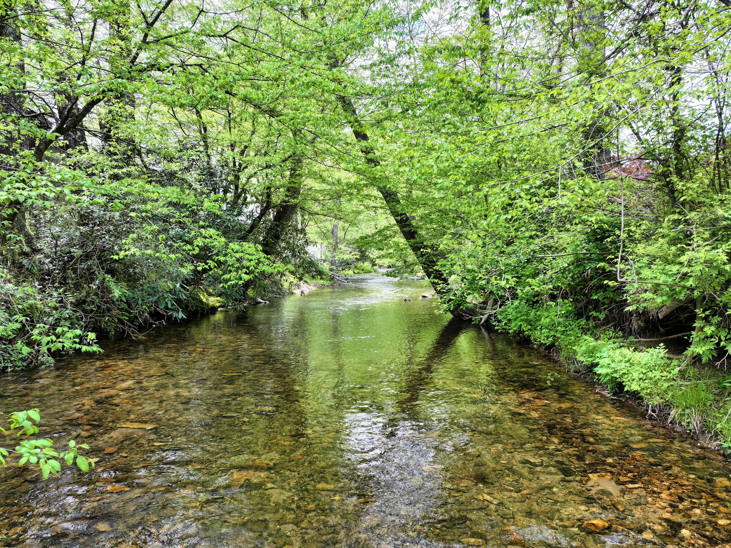
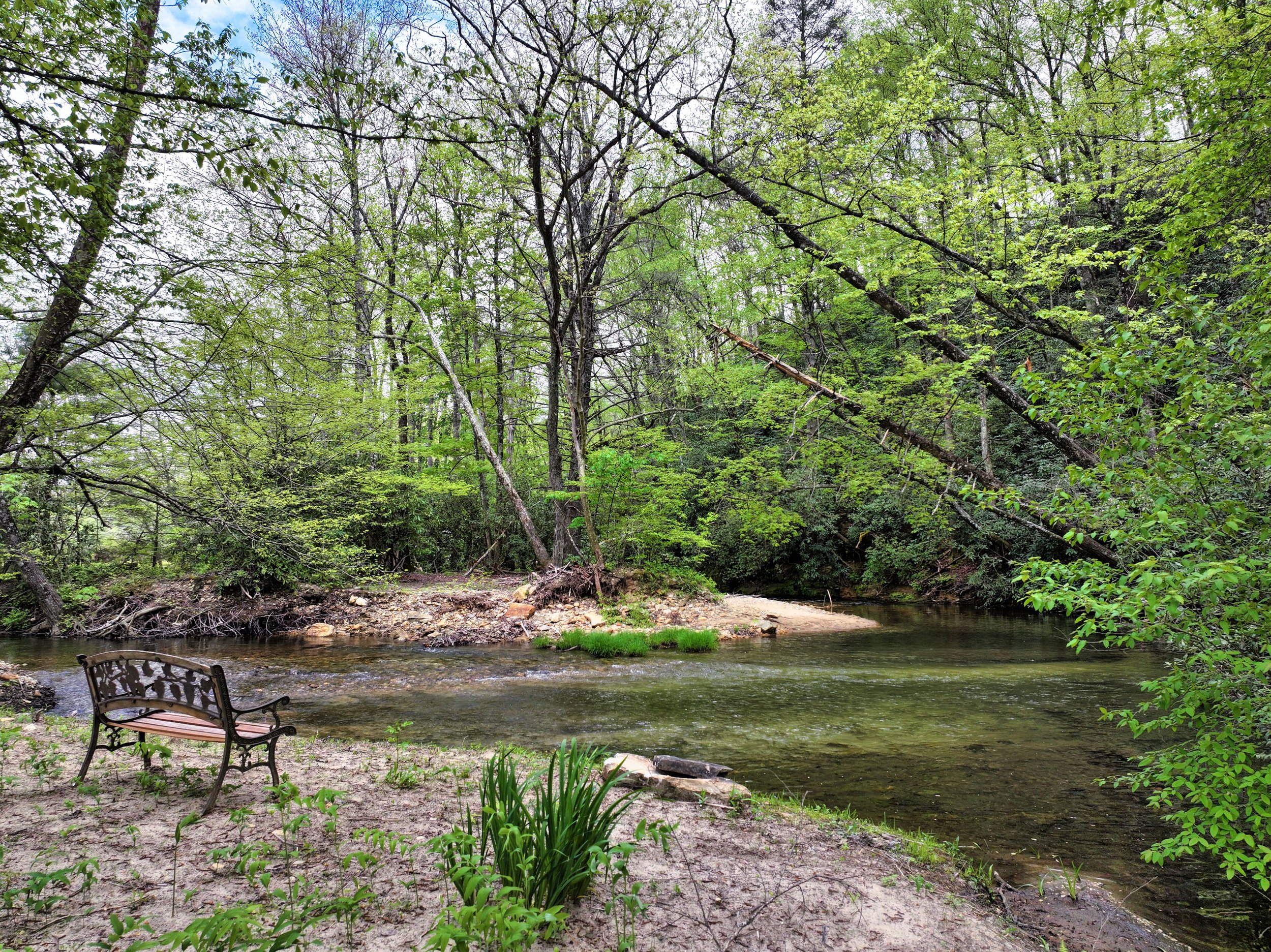
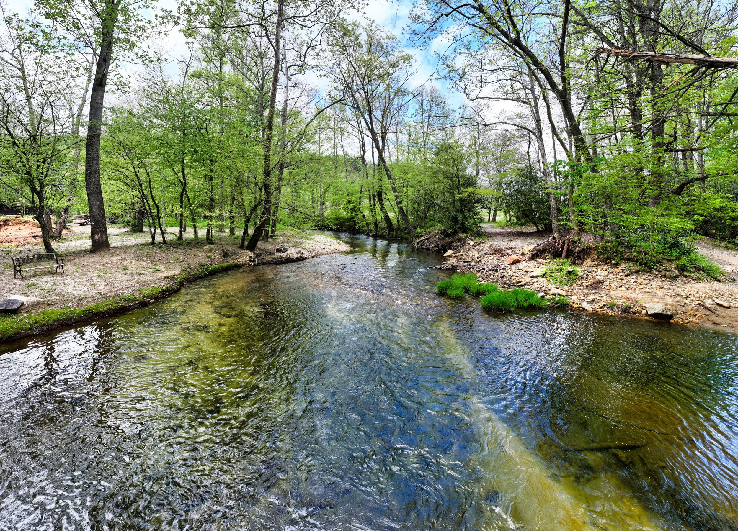

Video of the Green River and entrance bridge to property and outbuildings
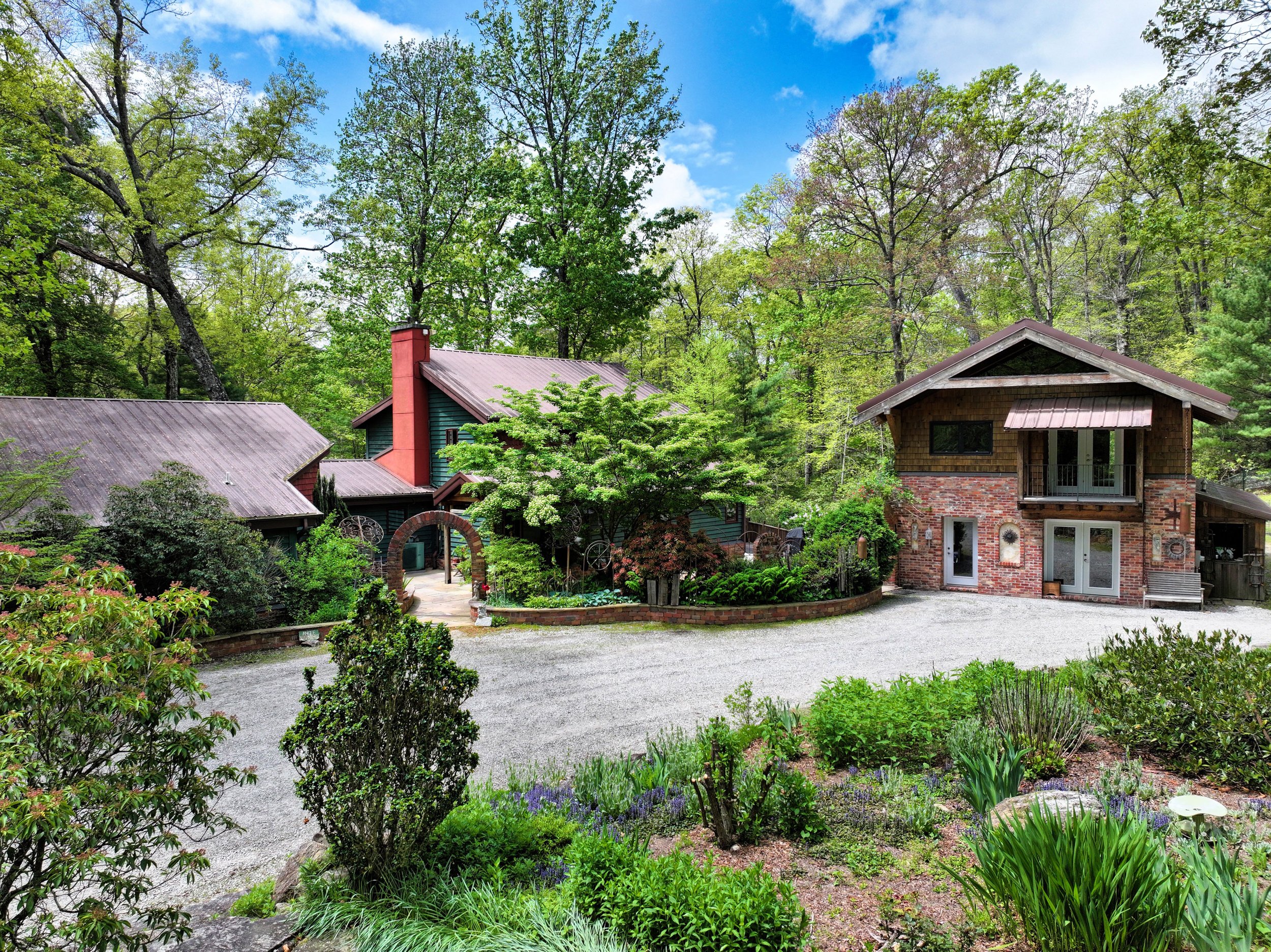
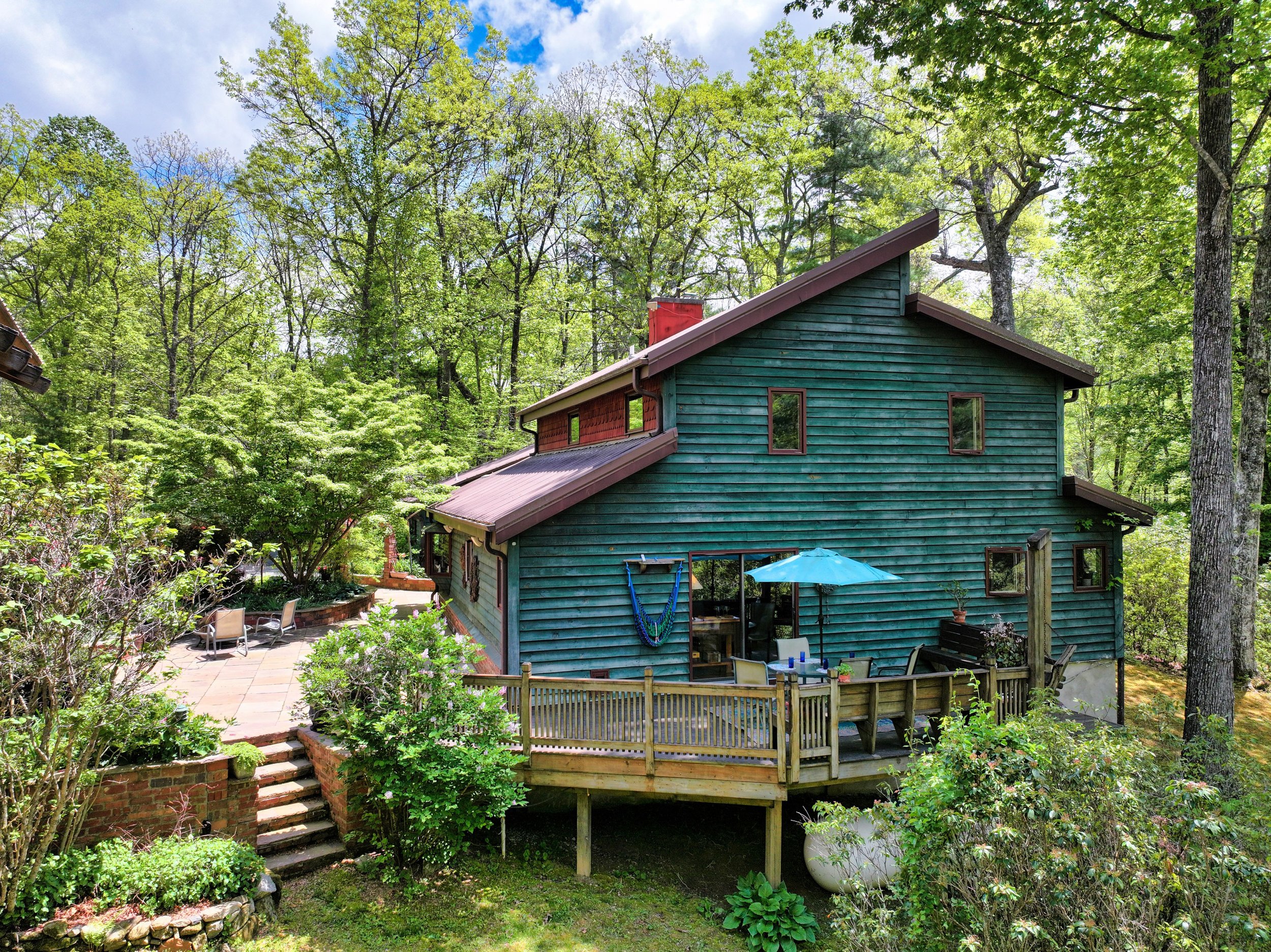
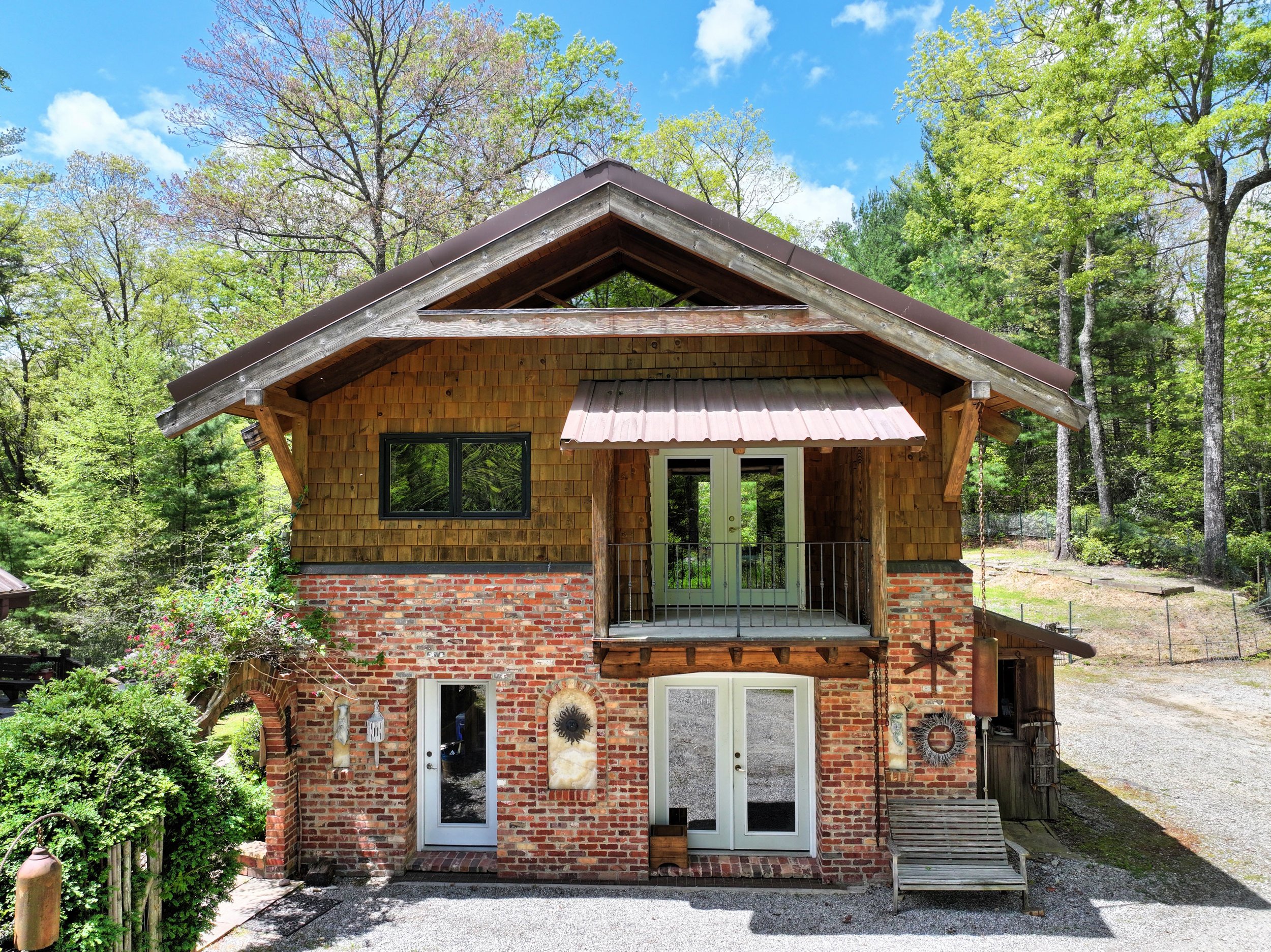
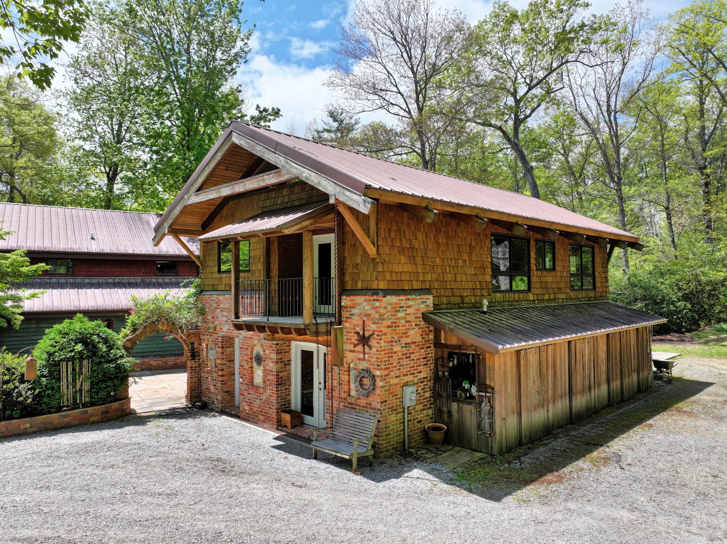
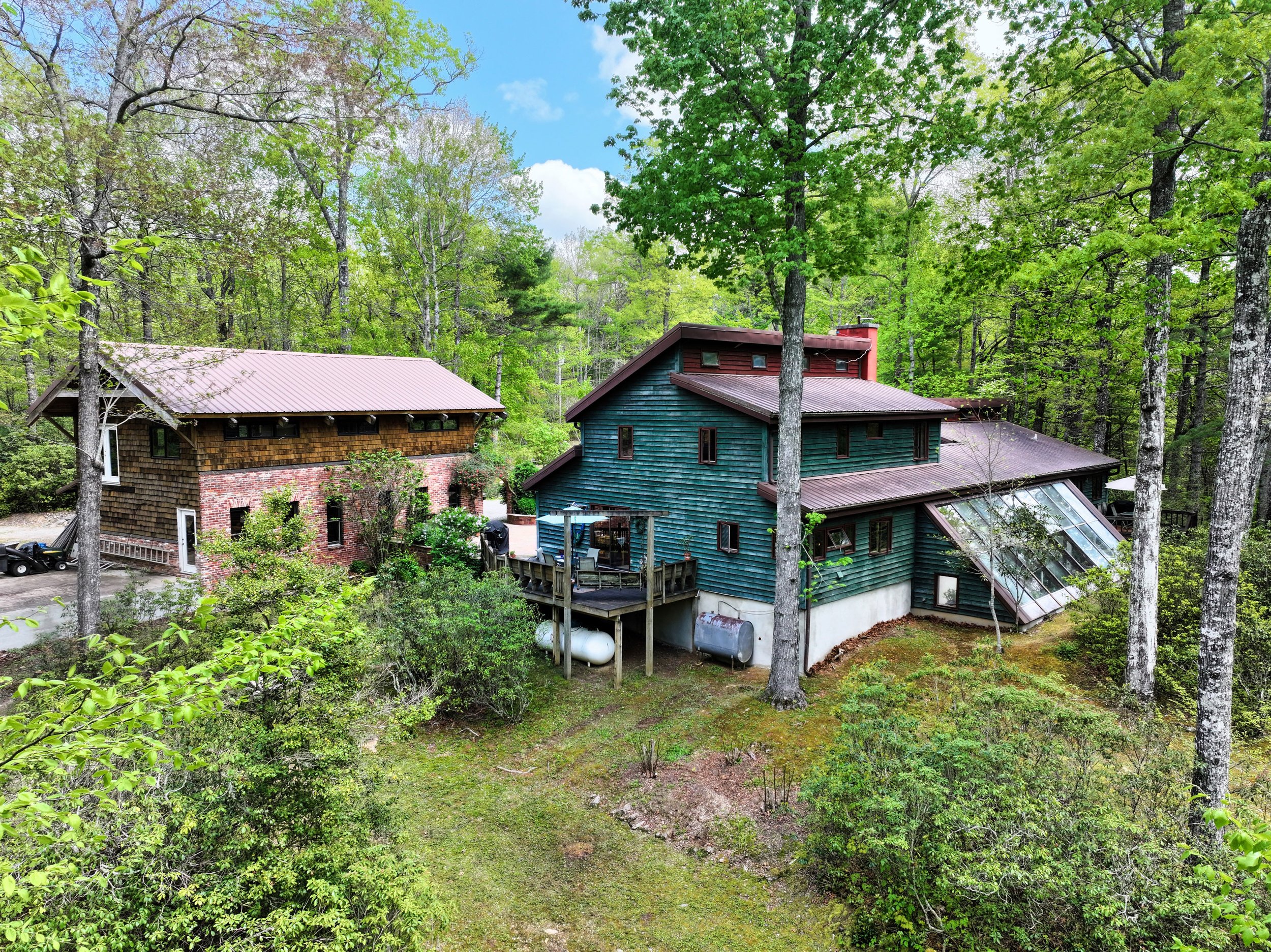
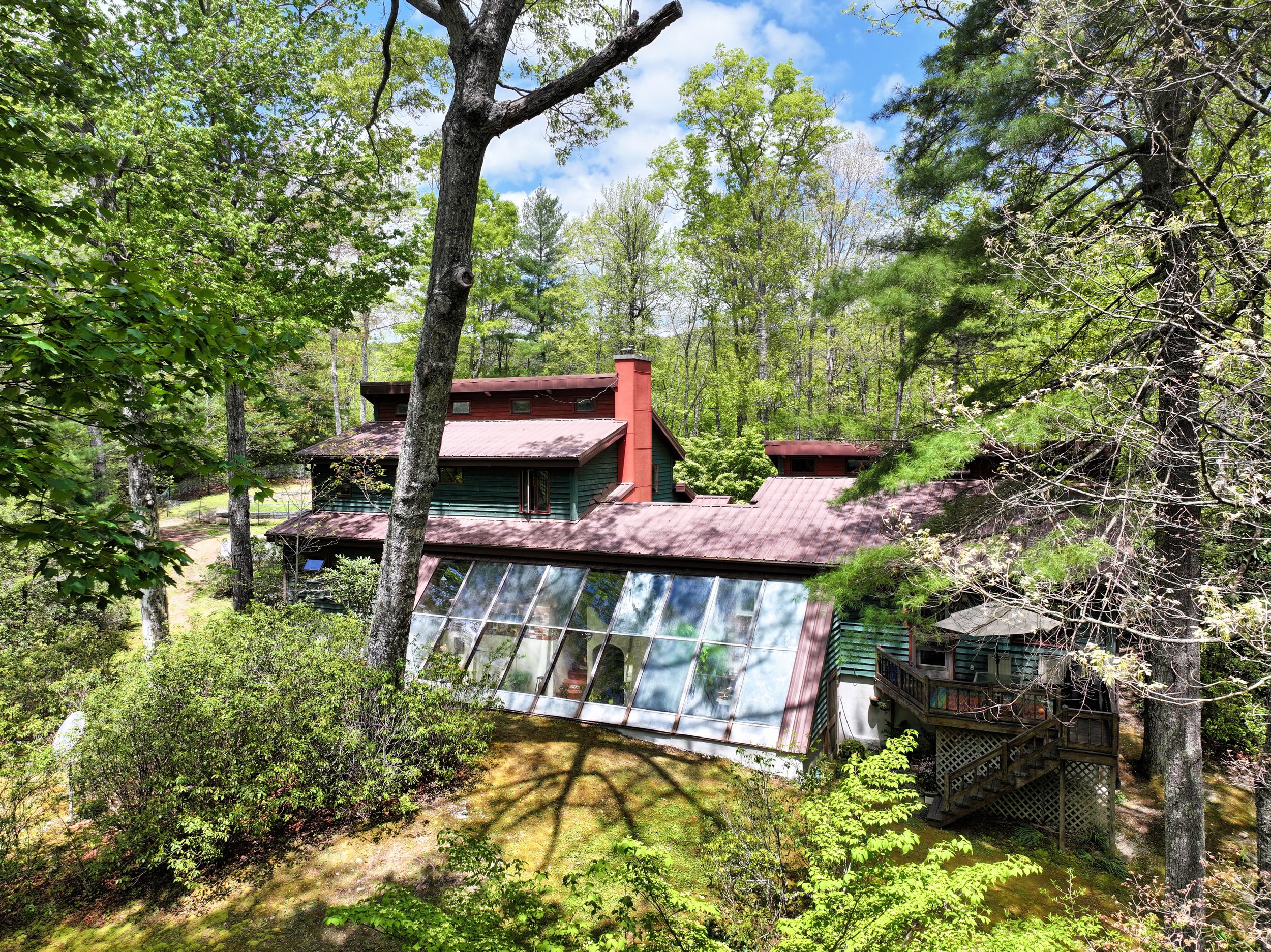
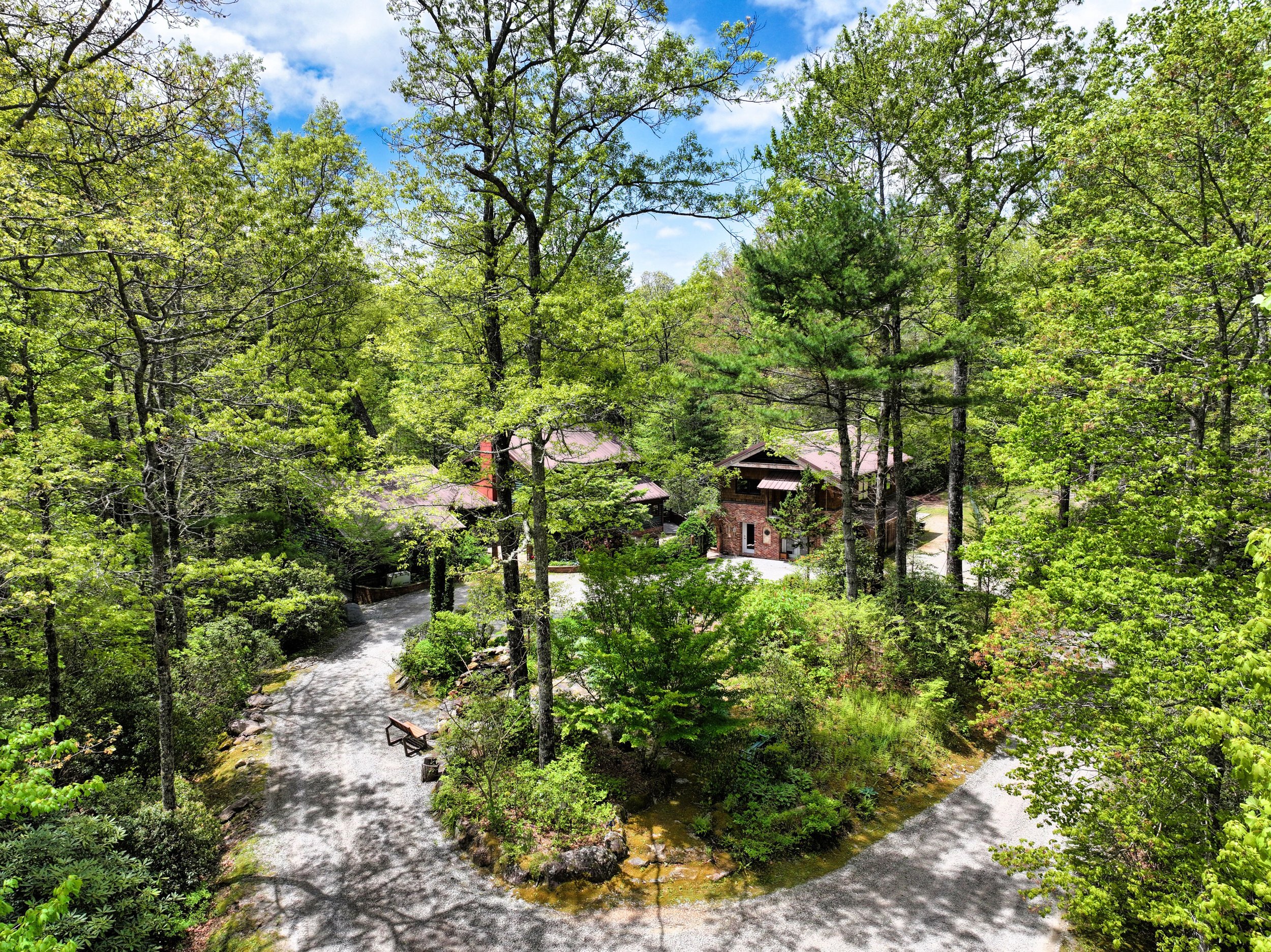
2. Main House + Brick 2-Story Timber Frame House
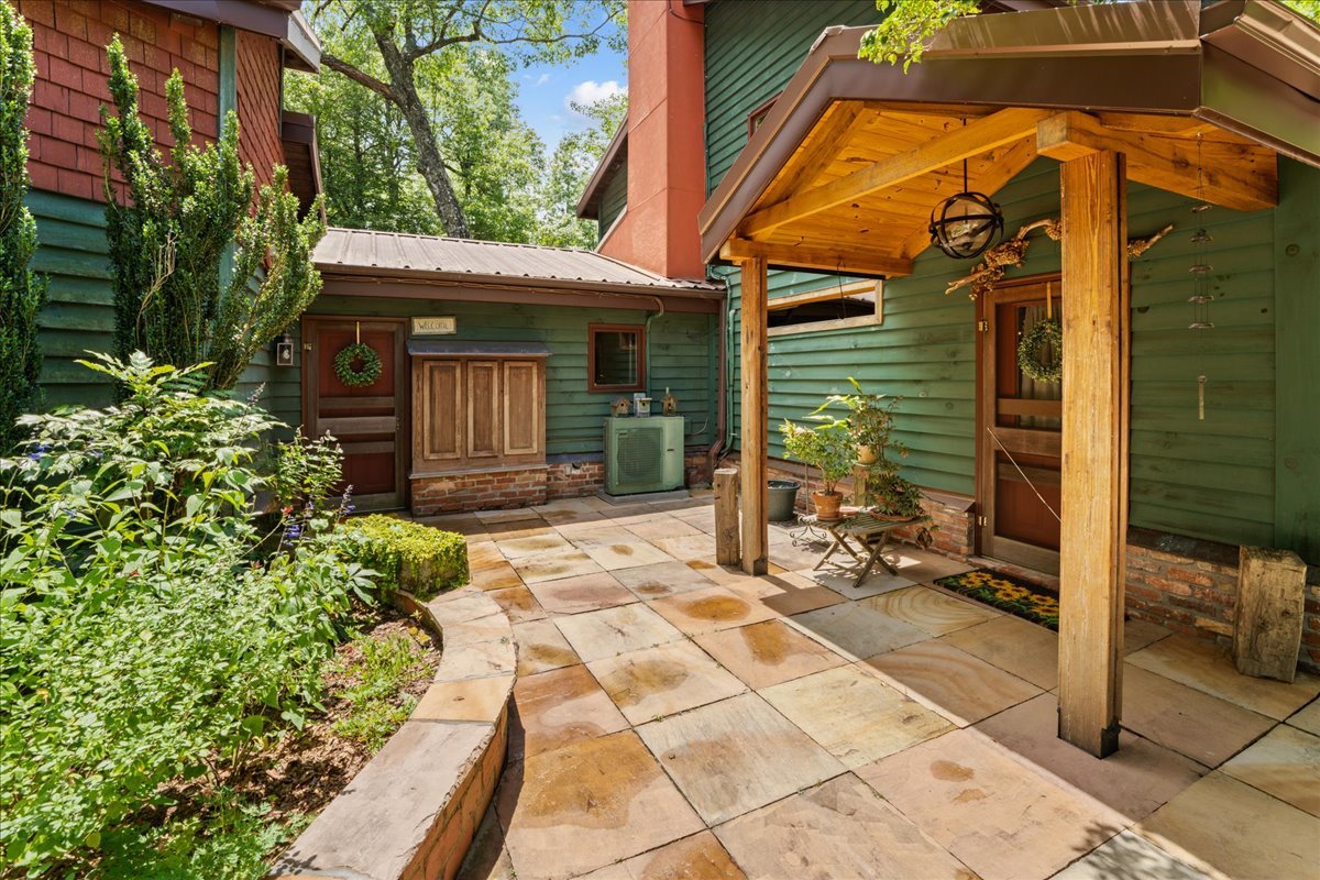
Main Home (Green Exterior): 3BD, 2BA, 2,217sf, Two Story Greenhouse (passive solar heat), Sauna, Deck, Full Kitchen, Dining Room, Office, Pantry, Laundry, Gas Log Fireplace
Short Term Rental Attached to Main House (Green Exterior): 2BD, 2BA, Full kitchen, Living Room, Dining Area, Loft and Deck, 982 sqft
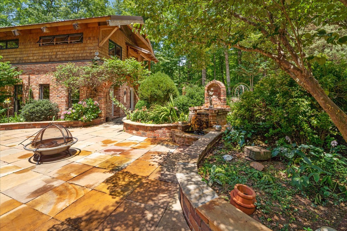
2-Story Timber Frame Unfinished Home (Brick and White Pine Shingle ): 2 Separate Units, 1,976sf
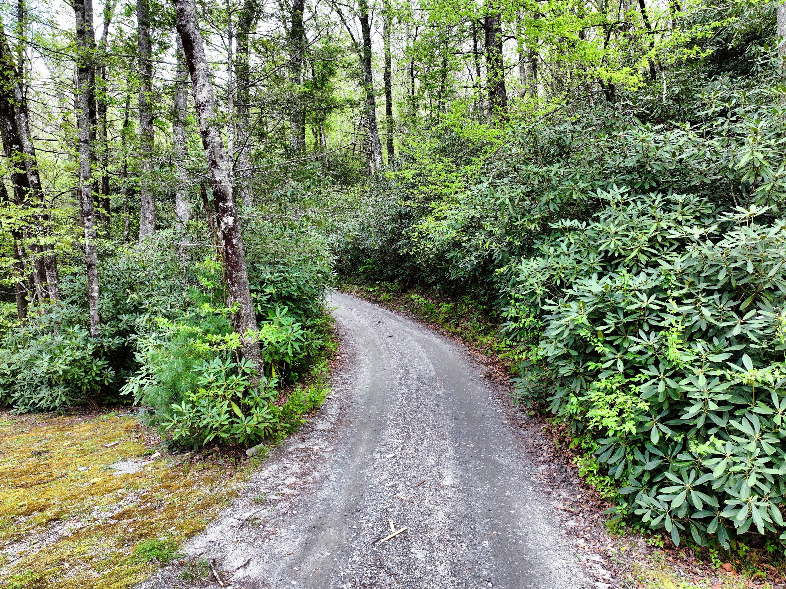
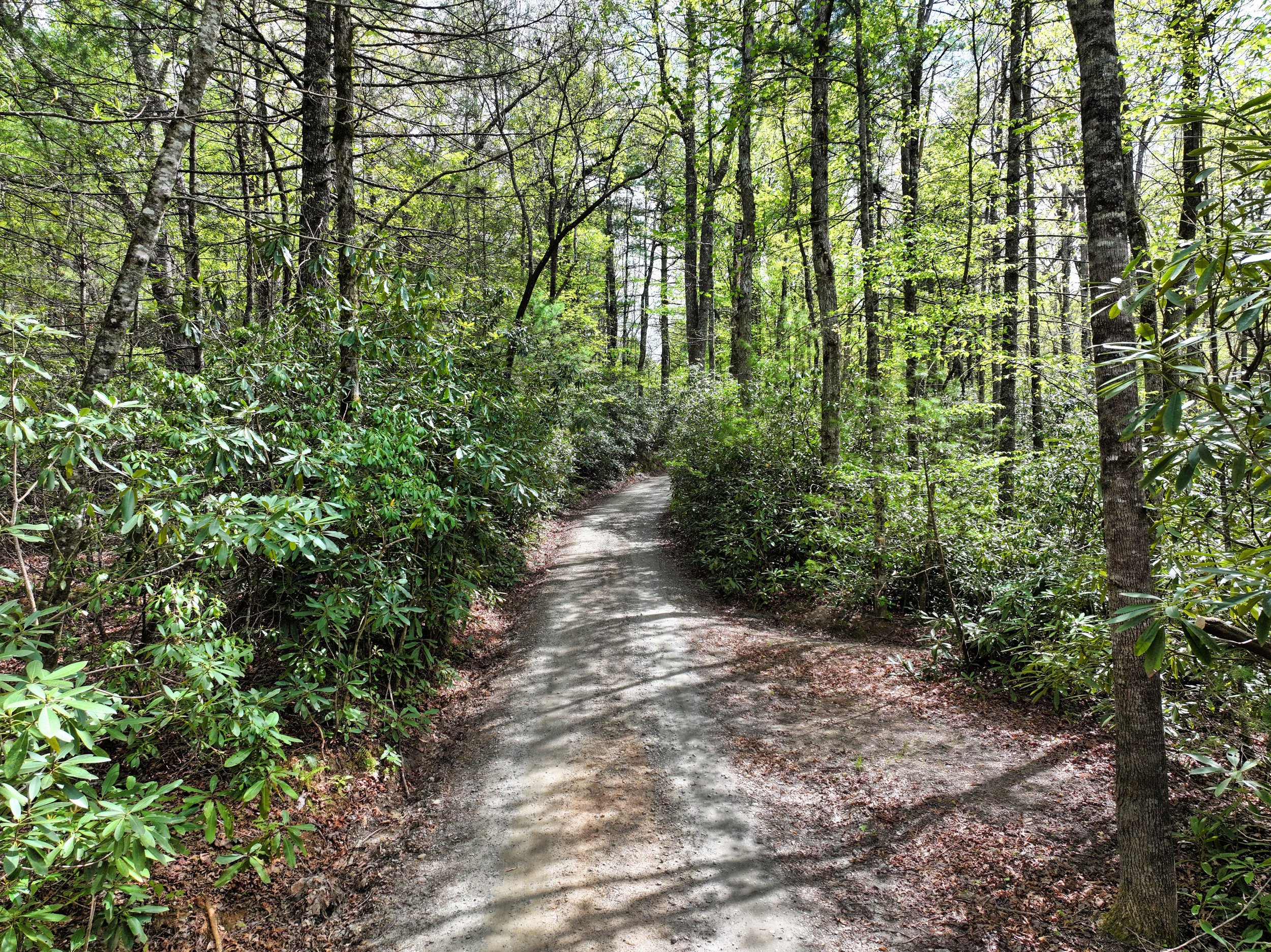
Points on the Map: 2a: Hiking trails 2b: Hiking trail loop with views of Mt. Pinnacle.
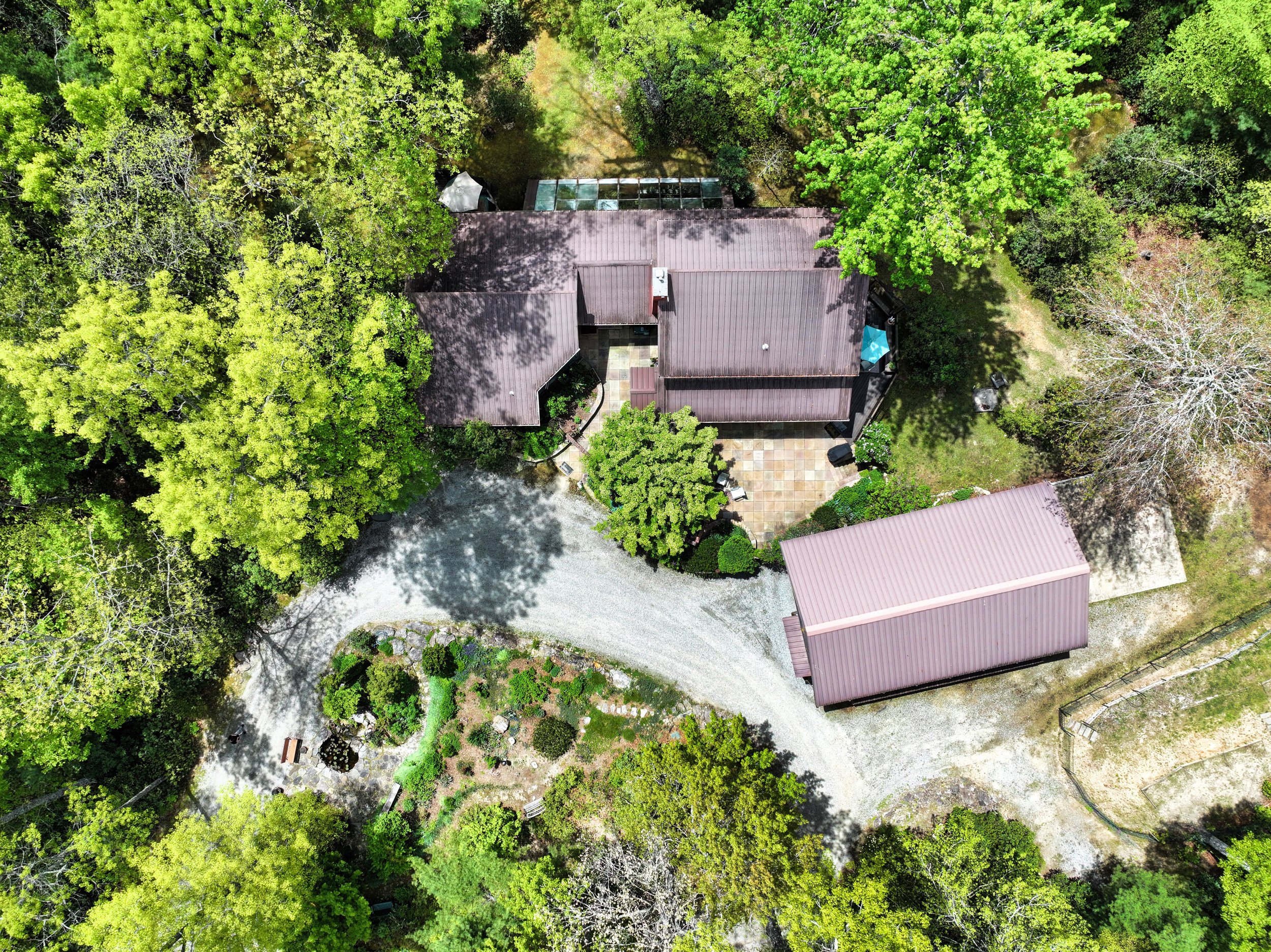
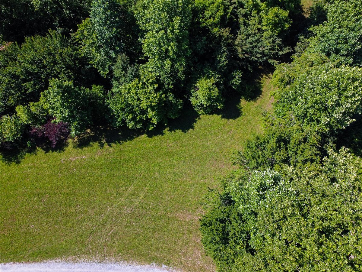
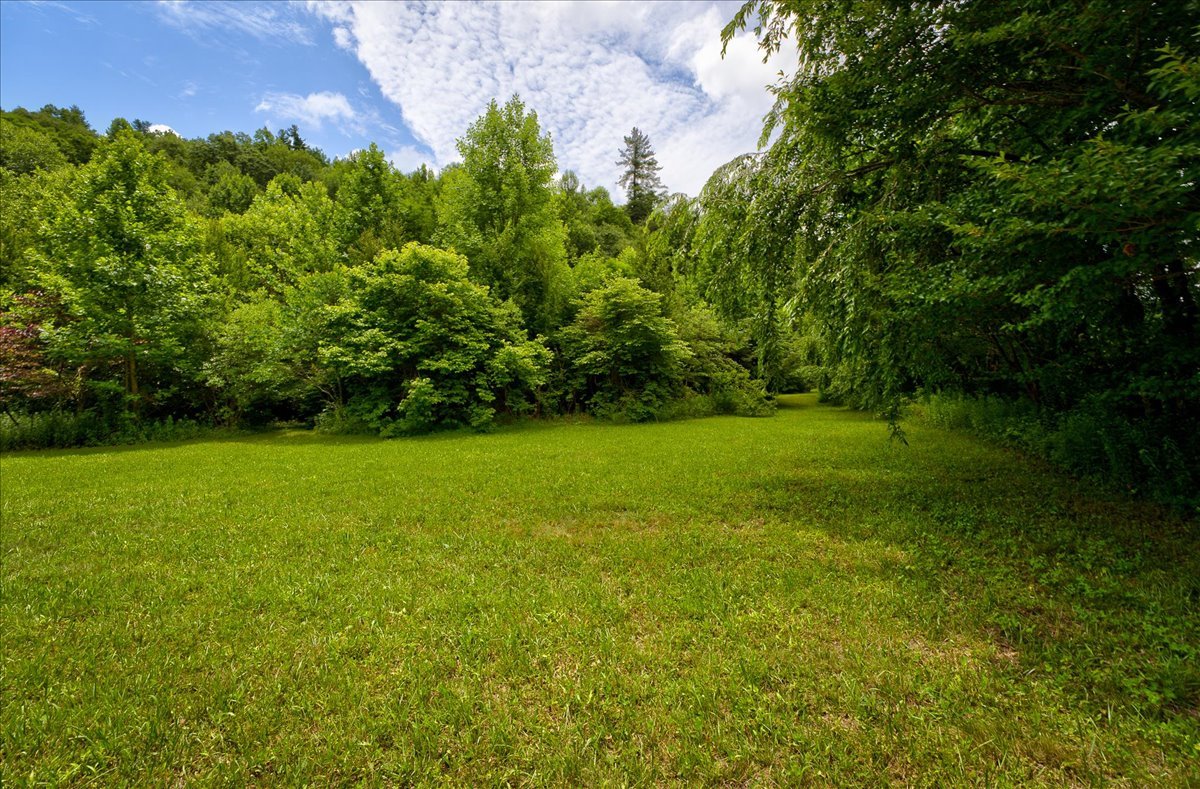
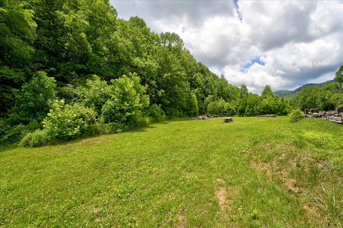
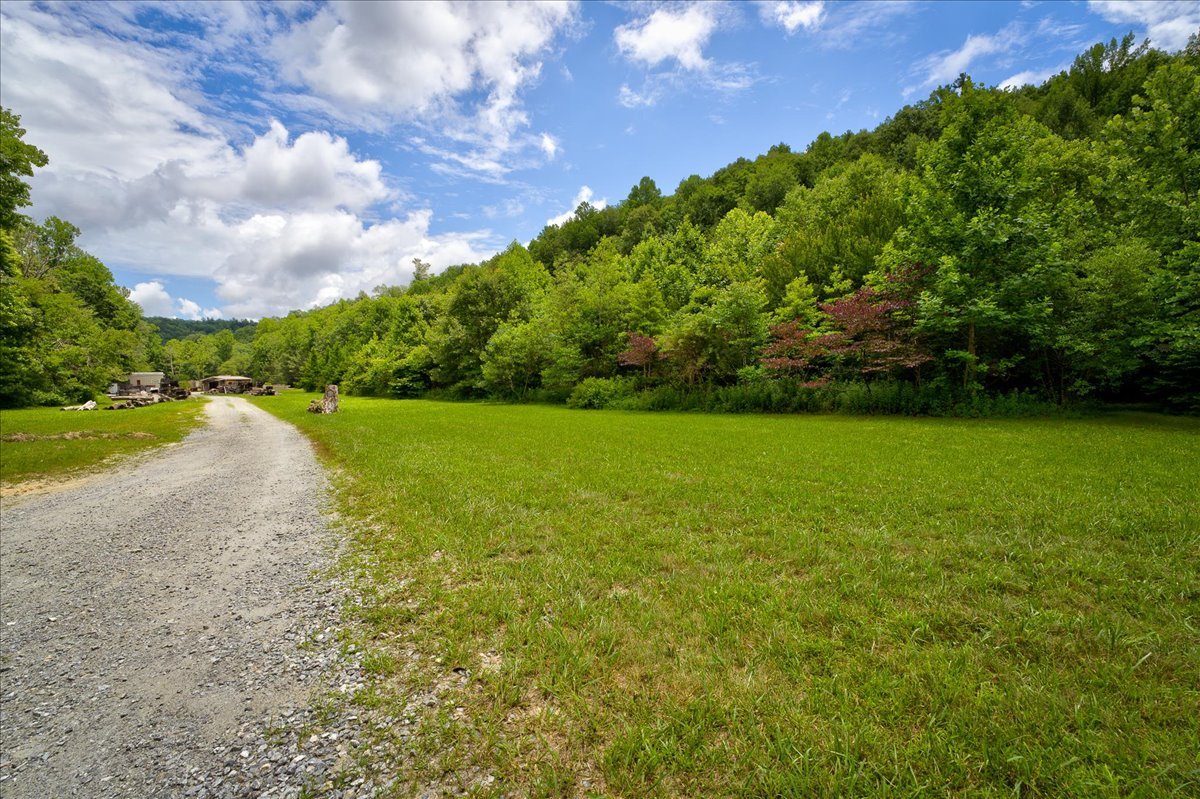
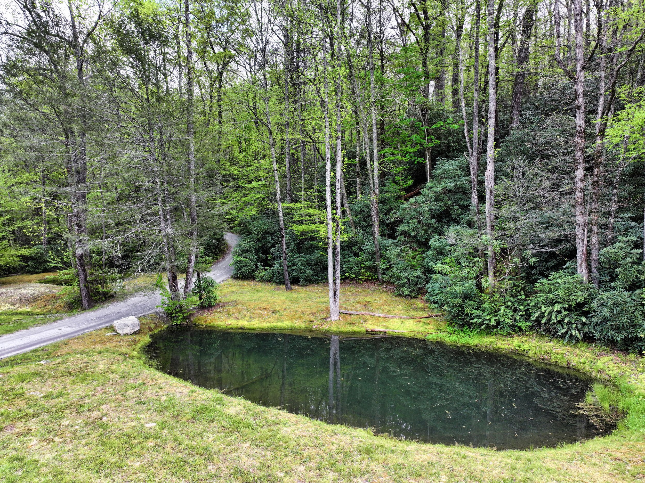
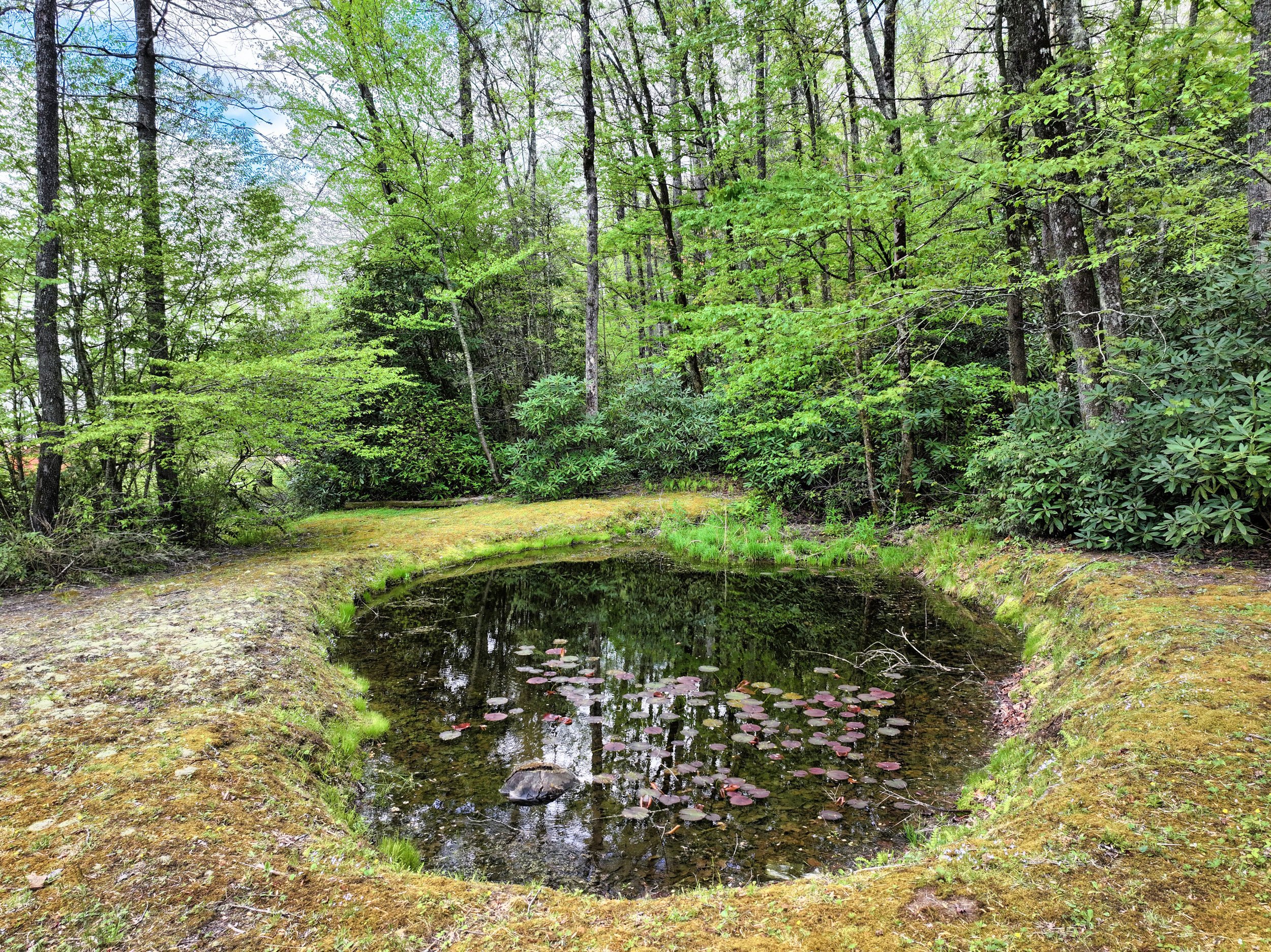
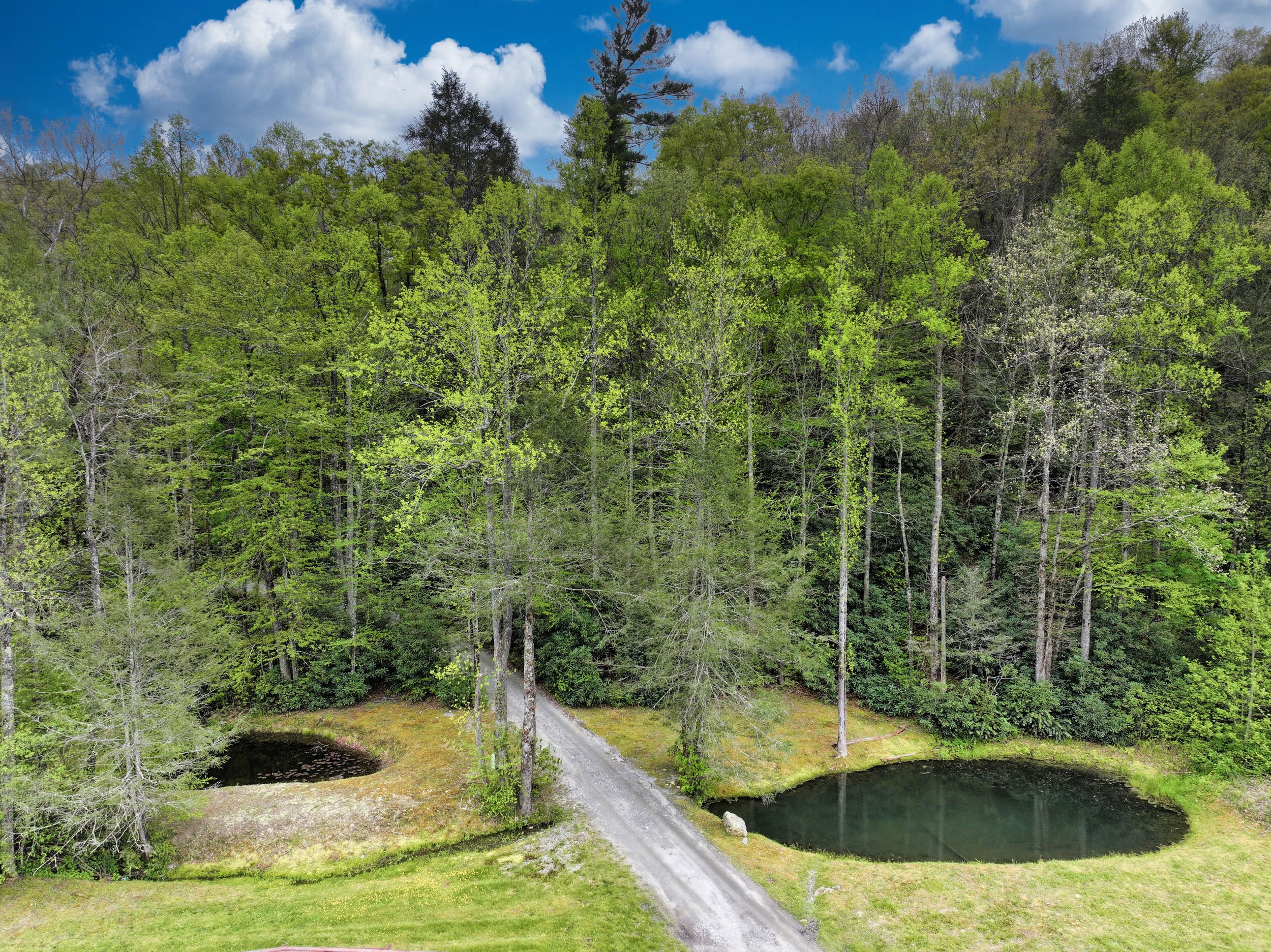
3. Flat Lower Level Acreage
This 6 +/- acre flat area is suitable for aquaculture and agriculture (5 ft of topsoil) and features an open field as well as retired nursery of native trees. Portion of PIN in flood zone .